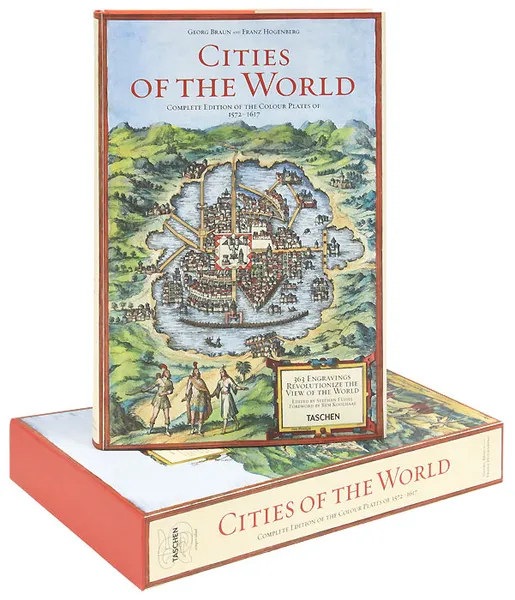
Cities of the World: 363 Engravings Revolutionize the View of the World: Complete Edition of the Colour Plates of 1572-1617 (подарочное издание)
Издательство: Taschen, 2011
Редактор: Stephan Fussel
Переплёт: Твердый переплет, суперобложка, футляр, 504 страницы
Серия: Civitates Orbis Terrarum
Категория: Литература на иностранных языках
ISBN: 978-3-8365-2685-2
Язык: Английский
📒 Вашему вниманию предлагается стильно оформленное, прекрасно иллюстрированное подарочное издание. Книга упакована в твердый футляр. History's most opulent collection of town maps and illustrations. The complete reprint of all 363 color plates from Braun and Hogenberg's survey of town maps, city views, and plans of Europe, Africa, Asia and Central America, with dozens of unusual details, as well as selected extracts from the original text and an in-depth commentary. First published in Cologne 1572-1617. More than four centuries after the first volume was originally published in Cologne, Braun and Hogenberg's magnificent collection of town map engravings, Civitates orbis terrarum, has been brought back to life with this reprint taken from a rare and superbly preserved original set of six volumes, belonging to the Historische Museum in Frankfurt. Produced between 1572 and 1617 - just before the extensive devastation wreaked by the Thirty Years' War - the work contains 564 plans, bird's-eye views, and map views of all major cities in Europe, plus important cities in Asia, Africa, and Latin America. Edited and annotated by theologian and publisher Georg Braun, and largely engraved by cartographer Franz Hogenberg, the Civitates was intended as a companion volume for Abraham Ortelius's 1570 world atlas, Theatrum orbis terrarum. Over a hundred different artists and cartogr...
Мнения
